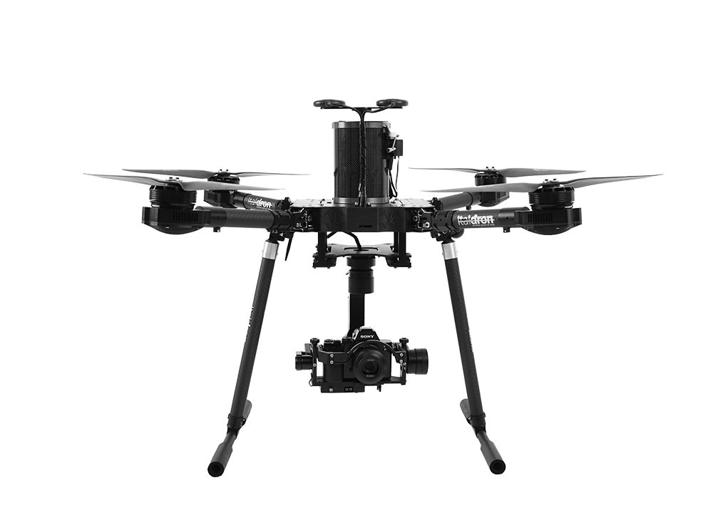
3D reconstruction and fotogrammetry with professional drone
Photogrammetry and 3D reconstruction
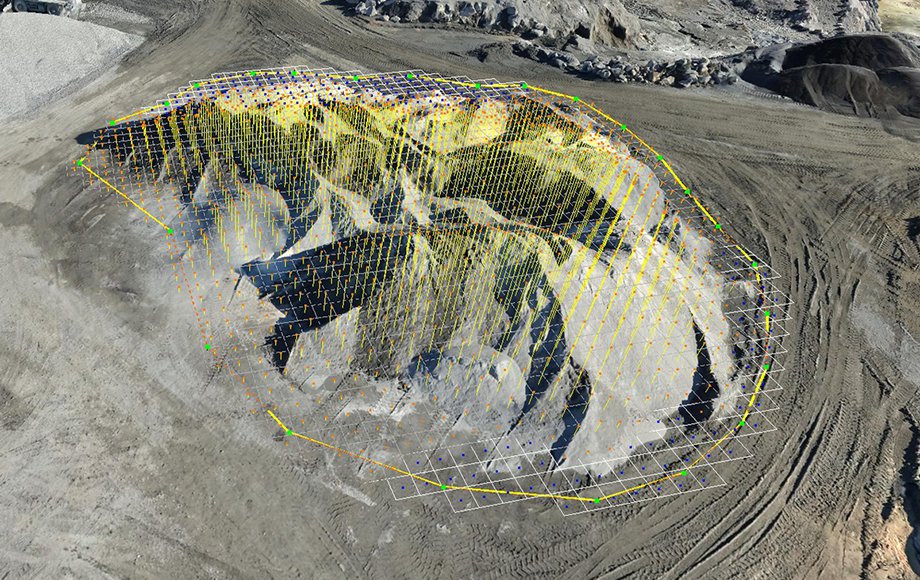
A digital revolution: from images to the 3d model
The latest generation of sensors is able to obtain high-resolution images which, when combined in suitable fashion, produce accurate 3D models that prove to be precise, suitable for navigation and measurement and stocked with a wealth of texture and detail.
The potential fields of use are limitless, as the technological frontier continues to move forward. Digital supports are always close at hand for technical, educational or recreational purposes, as well as in support of decision-makers.

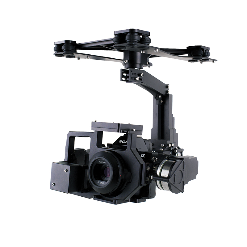
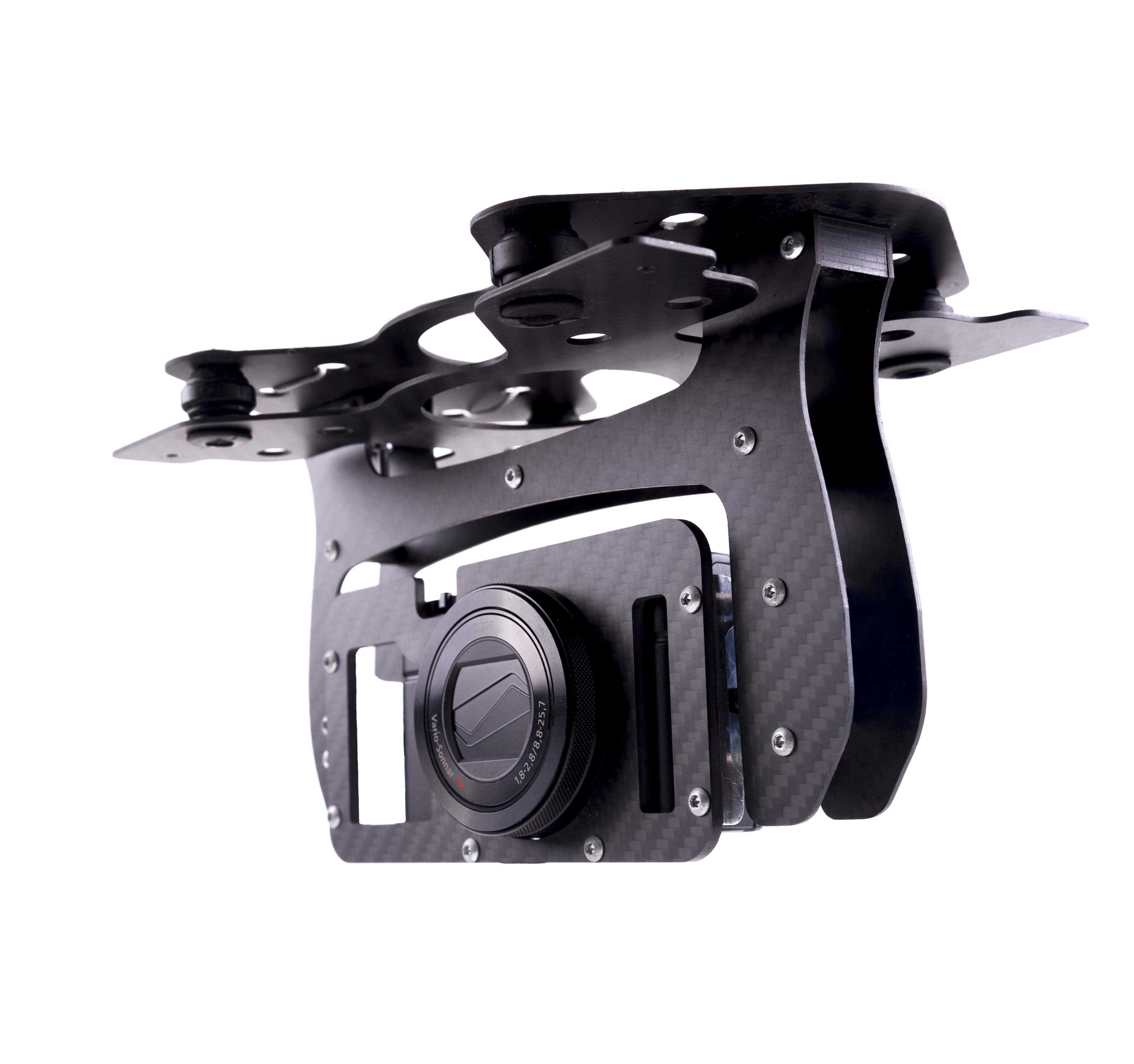
To be able to reliably obtain images of the utmost quality, clarity and precision, the first step is to make use of the best tools and instruments on the market, as well as a solid background of experience in the field. The end goal is to combine the images into a complete 3D model whose every portion offers 100% reliability, having been obtained with the proper sensors and combinations of lenses.
Italdron’s UAV offerings are optimised to provide maximum performance and maximum quality of the data collected.
These strengths, together with the right post-processing and data-fusion approach, mean that we are able to obtain and observe existing conditions that can be measured, assessed, compared and recorded.