SAPR, Territory Control and Intelligence
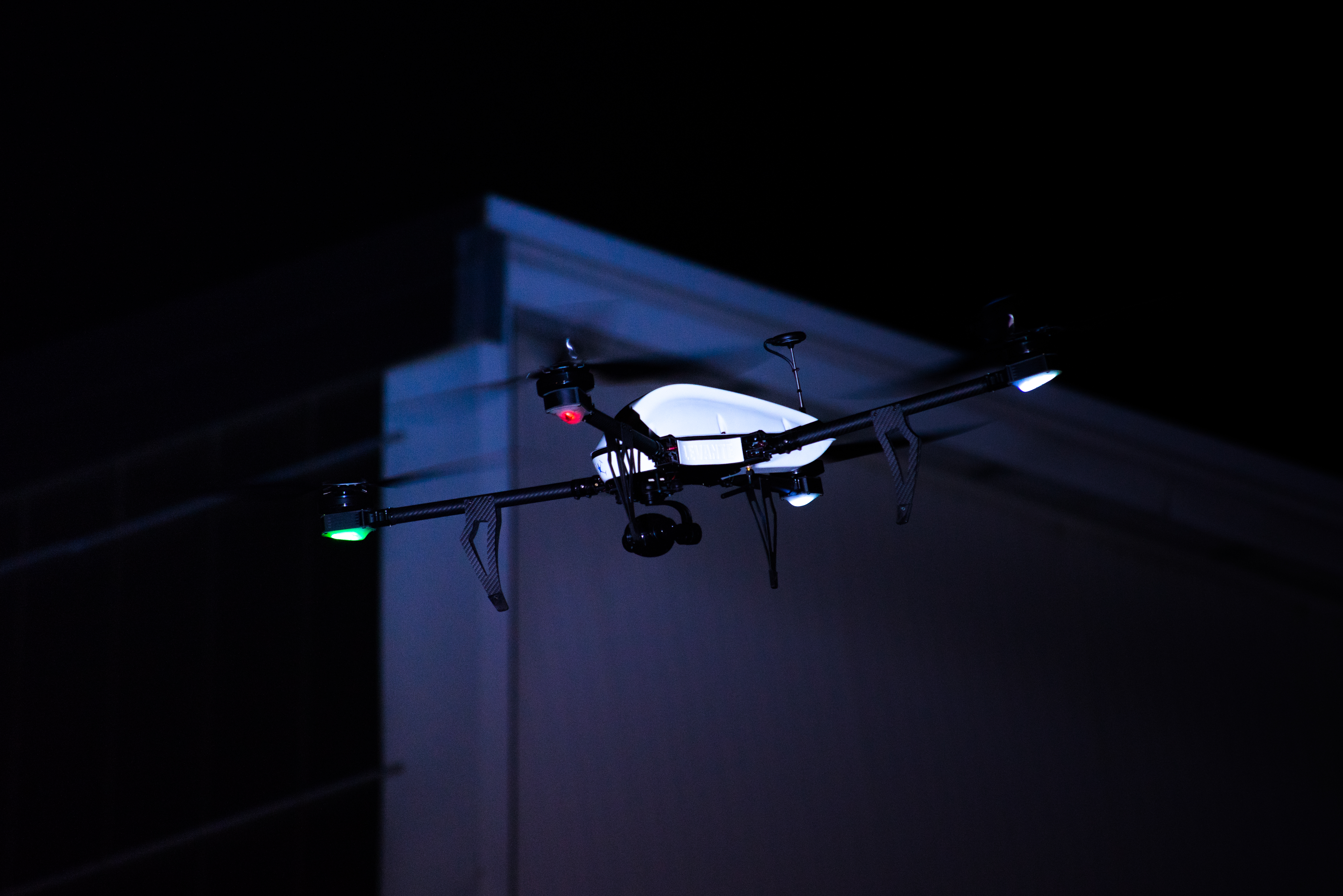
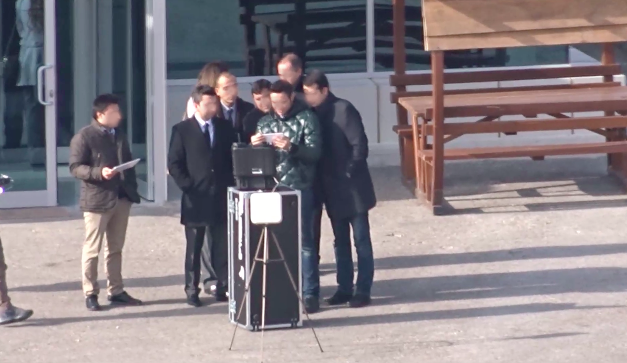
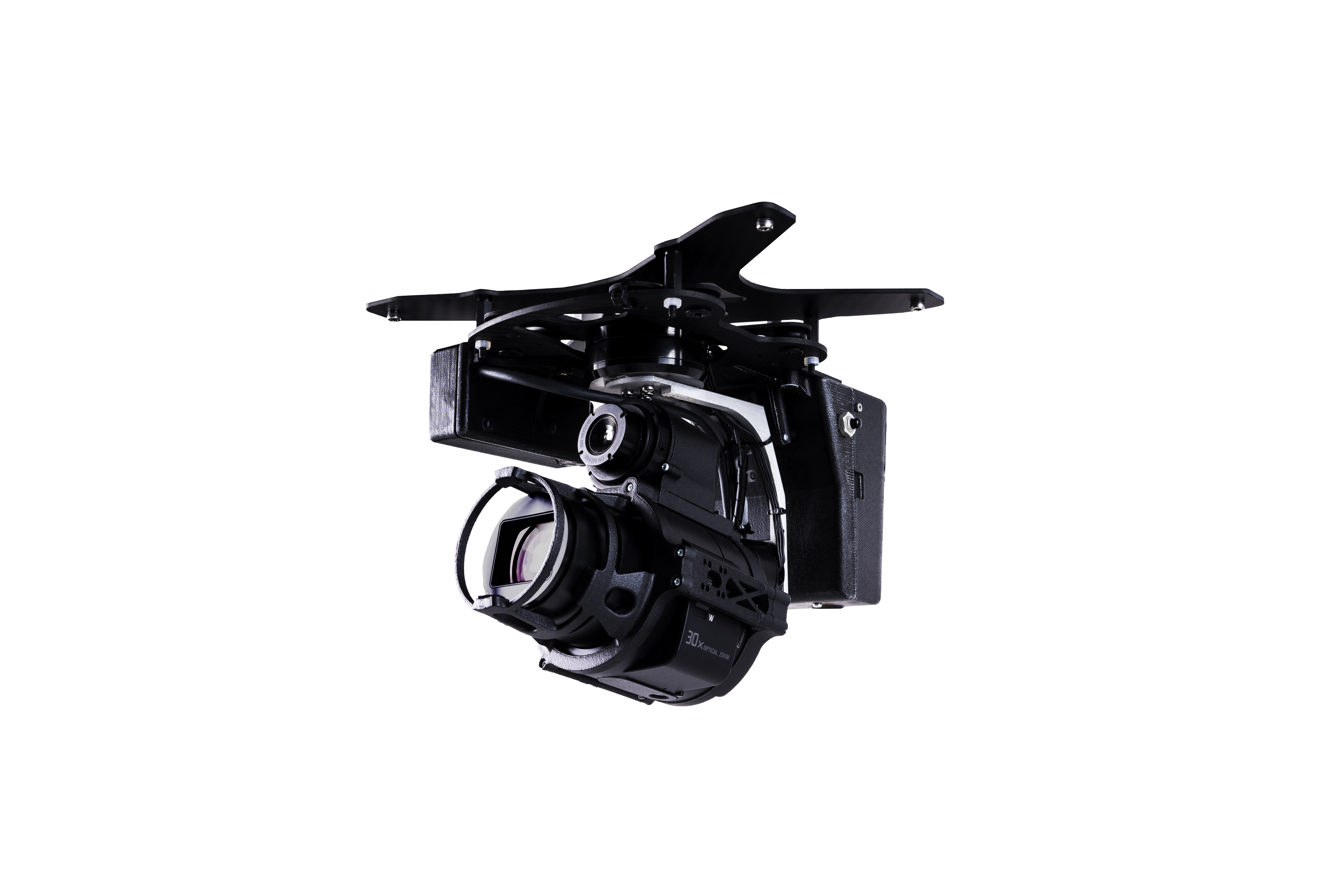
"Security" is confirmed by one of the key themes that focus on the public's interest and attention. This is thanks to the giant steps taken over these years, which have made SAPR more mature tools for territorial control, research and rescue activities. One of the determining factors that Unmanned technology has made in this application area is the speed of intervention, especially in circumstances where human life is in danger, as well as confirming an effective and less invasive solution than traditional methods. Today, a dynamic, eye-catching eye is one of the best solutions for monitoring and monitoring sensitive areas and subjects. The drone aimed at controlling the territory is a powerful deterrent as a solution to prevent, as well as an effective and mature technology that allows you to generate autonomous missions in the air, able to locate subjects and distance information thanks to the use of powerful stabilized optical zoom, intelligent target tracking, managing video streams and payload control remotely. Italdron, in partnership with leading companies in the field of analysis and security, offers a full range of solutions equipped with the most innovative technologies capable of long-range reconnaissance and detecting subjects in the unseen and identifying subjects / plates in the visible at high distances, transmitting data collected to ground stations. These tools are also important for supporting post-scattered post-disaster and emergency emergencies. Through stand-alone grid flying missions you can easily and quickly cover large spatial areas, ensuring a fast and efficient racking. SAPR technologies can also access hazardous areas (such as hazardous areas, post-seismic disasters) by eliminating human risk. In recent years, Italdron has developed a proven expertise in this field, working alongside Civil Institutions and Civil Protection during calamity, national emergency and ordinary city security monitoring. The proposed solution includes factors such as: · high endurance in addition to low payload and payload · efficient configurations · payload systems with zoom and / or 30x combined with IR thermal night vision camera. Possibility to capture stills of 20 mpx, allowing people and license plates to be identified at a distance of up to 600 / 1000mt · Software availability that allows tracking and interoperability of data management and data interoperability (image HD or remote payload management) that can be hijacked in real time to remote operating units.